 MT.ILYA ZAKARIYYA
Current Status
Where is the vessel?
MT.ILYA ZAKARIYYA is currently in Near WAYAME, based on AIS data received about 15h ago.
Latest AIS update:
Current position: 3.66465° S, 128.17429° E (Near WAYAME)
Average speed (last 7 days): Loading…
Average speed (last 30 days): Loading…
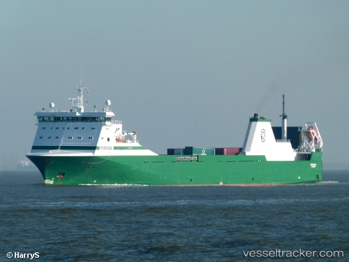
Vessel profile: MT.ILYA ZAKARIYYA is a Oil/Chemical Tanker with dimensions m x m.
This page combines live AIS, route history, probable destination signals, nearby traffic, and port activity for practical vessel monitoring.
The current position of vessel MT.ILYA ZAKARIYYA is -3.66465 lat / 128.17429 lng. Updated: 2026-06-21 01:47:02 UTCNearest reference points:
- Near Ambon
- 55 nm S of Labuha, Molucas
- 69 nm NW of Wainibe
Currently sailing under the flag of Indonesia ![]()
Details:
Live Vessel MT.ILYA ZAKARIYYA Analytics (details, animations, etc.)
Recent AIS points (UTC):
2026-06-20 22:38:00 UTC · -3.66462, 128.17429 · SOG 0 kn · COG 75°2026-06-21 00:02:01 UTC · -3.66463, 128.17430 · SOG 0 kn · COG 74°
2026-06-21 01:17:01 UTC · -3.66465, 128.17430 · SOG 0 kn · COG 74°
2026-06-21 01:47:02 UTC · -3.66465, 128.17429 · SOG 0 kn · COG 75°