 vesseltracker.com
 ROX D
ROX D
Current Status
Where is the vessel?
ROX D is currently in 11 nm N of Viinistu Sadam, based on AIS data received about 14h ago.
Latest AIS update:
Current position: 59.83711° N, 25.72102° E (11 nm N of Viinistu Sadam)
Average speed (last 7 days): Loading…
Average speed (last 30 days): Loading…
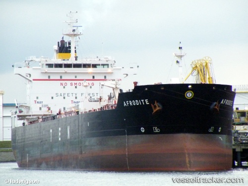
Vessel profile: ROX D is a Oil/Chemical Tanker with dimensions m x m.
This page combines live AIS, route history, probable destination signals, nearby traffic, and port activity for practical vessel monitoring.
The current position of vessel ROX D is 59.83711 lat / 25.72102 lng. Updated: 2026-05-18 05:55:17 UTCNearest reference points:
- 13 nm N of Viinistu Sadam
- Near Vessölandet
- Near Vuosaari (Nordsjö)
Currently sailing under the flag of Barbados ![]()
Details:
Live Vessel ROX D Analytics (details, animations, etc.)
Recent AIS points (UTC):
2026-05-18 02:16:17 UTC · 59.83742, 25.72182 · SOG 0 kn · COG 283°2026-05-18 03:55:17 UTC · 59.83729, 25.72144 · SOG 0 kn · COG 296°
2026-05-18 04:13:17 UTC · 59.83732, 25.72140 · SOG 0 kn · COG 297°
2026-05-18 05:55:17 UTC · 59.83711, 25.72102 · SOG 0 kn · COG 306°