 vesseltracker.com
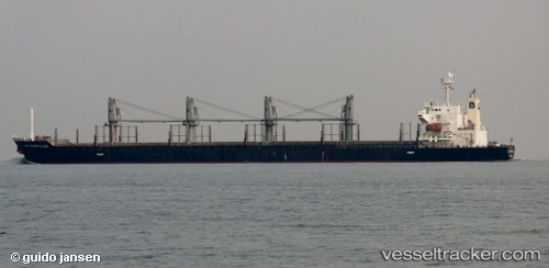
Matakana Island
Current StatusWhere is the vessel?
Matakana Island is currently in 376 nm NW of Apra, based on AIS data received about 15h ago.
Latest AIS update:
Current position: 16.94500° N, 139.22333° E (376 nm NW of Apra)
Average speed (last 7 days): Loading…
Average speed (last 30 days): Loading…
Vessel profile: Matakana Island is a Bulk Carrier with dimensions 30m x 175m.
This page combines live AIS, route history, probable destination signals, nearby traffic, and port activity for practical vessel monitoring.
The current position of vessel Matakana Island is 16.94500 lat / 139.22333 lng. Updated: 2026-05-18 01:41:07 UTCNearest reference points:
- Open sea, approx. 402 nm off the nearest listed port
- Open sea, approx. 404 nm off the nearest listed port
- Open sea, approx. 407 nm off the nearest listed port
Details:
Live Vessel Matakana Island Analytics (details, animations, etc.)
Recent AIS points (UTC):
2026-05-17 23:01:02 UTC · 16.45713, 139.53690 · SOG 13.1 kn · COG 330°2026-05-17 23:41:07 UTC · 16.57833, 139.45833 · SOG 12 kn · COG -1°
2026-05-18 01:41:07 UTC · 16.94500, 139.22333 · SOG 12 kn · COG -1°
2026-05-18 01:41:07 UTC · 16.94500, 139.22333 · SOG 12 kn · COG -1°