 vesseltracker.com
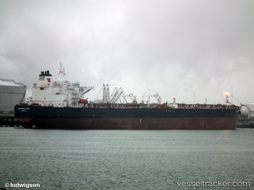
 ELYSARIA
Current Status
Where is the vessel?
ELYSARIA is currently in 19 nm NW of Kalana, based on AIS data received about 14h ago.
Latest AIS update:
Current position: 59.09962° N, 21.56758° E (19 nm NW of Kalana)
Average speed (last 7 days): Loading…
Average speed (last 30 days): Loading…
Vessel profile: ELYSARIA is a Oil Products Tanker with dimensions m x m.
This page combines live AIS, route history, probable destination signals, nearby traffic, and port activity for practical vessel monitoring.
The current position of vessel ELYSARIA is 59.09962 lat / 21.56758 lng. Updated: 2026-05-17 19:32:53 UTCNearest reference points:
- 20 nm W of Kalana
- 37 nm W of Vikati Sadam
- Near Nagu (Nauvo)
Currently sailing under the flag of Liberia ![]()
Details:
Live Vessel ELYSARIA Analytics (details, animations, etc.)
Recent AIS points (UTC):
2026-05-17 16:57:43 UTC · 59.45898, 22.38269 · SOG 13 kn · COG 233°2026-05-17 17:57:03 UTC · 59.32716, 22.05279 · SOG 12.8 kn · COG 231°
2026-05-17 19:08:24 UTC · 59.17038, 21.66176 · SOG 12.7 kn · COG 234°
2026-05-17 19:32:53 UTC · 59.09962, 21.56758 · SOG 12.9 kn · COG 210°