 Stavfjord
Current Status
Where is the vessel?
Stavfjord is currently in Near BRU, based on AIS data received about 14h ago.
Latest AIS update:
Current position: 59.02853° N, 5.68704° E (Near BRU)
Average speed (last 7 days): Loading…
Average speed (last 30 days): Loading…
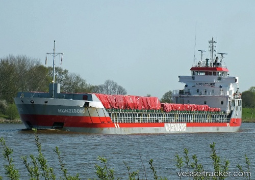
Vessel profile: Stavfjord is a Multi Purpose Carrier with dimensions 114m x 114m.
This page combines live AIS, route history, probable destination signals, nearby traffic, and port activity for practical vessel monitoring.
The current position of vessel Stavfjord is 59.02853 lat / 5.68704 lng. Updated: 2026-05-29 12:17:30 UTCNearest reference points:
- Near Lura
- Near HUSOYA
- Near Storøya
Currently sailing under the flag of Netherlands ![]()
Stavfjord built in 2005 year
Deadweight:
6100 tDetails:
Live Vessel Stavfjord Analytics (details, animations, etc.)
Recent AIS points (UTC):
2026-05-29 08:01:24 UTC · 59.02707, 5.68383 · SOG 0 kn · COG 95°2026-05-29 09:59:25 UTC · 59.02839, 5.68572 · SOG 0.1 kn · COG 173°
2026-05-29 10:19:18 UTC · 59.02843, 5.68645 · SOG 0 kn · COG 188°
2026-05-29 12:17:30 UTC · 59.02853, 5.68704 · SOG 0 kn · COG 205°