 vesseltracker.com
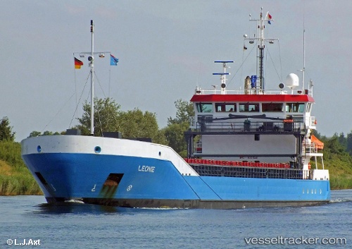
 Leonie
Current Status
Where is the vessel?
Leonie is currently in 23 nm NE of Östhammar, based on AIS data received about 1h ago.
Latest AIS update:
Current position: 60.50320° N, 18.96456° E (23 nm NE of Östhammar)
Average speed (last 7 days): Loading…
Average speed (last 30 days): Loading…
Vessel profile: Leonie is a Multi Purpose Carrier with dimensions 90m x 90m.
This page combines live AIS, route history, probable destination signals, nearby traffic, and port activity for practical vessel monitoring.
The current position of vessel Leonie is 60.50320 lat / 18.96456 lng. Updated: 2026-05-13 12:00:31 UTCNearest reference points:
- Near Östhammar
- Near Hallstavik
- Near GRADDO
Currently sailing under the flag of Netherlands ![]()
Leonie built in 2007 year
Deadweight:
3638 tDetails:
Live Vessel Leonie Analytics (details, animations, etc.)
Recent AIS points (UTC):
2026-05-13 05:06:33 UTC · 61.57167, 19.46167 · SOG 9 kn · COG -1°2026-05-13 09:50:03 UTC · 60.83916, 19.12666 · SOG 9.6 kn · COG 190°
2026-05-13 10:50:15 UTC · 60.68246, 19.05381 · SOG 9.6 kn · COG 192°
2026-05-13 12:00:31 UTC · 60.50320, 18.96456 · SOG 9.4 kn · COG 178°