 PGC ALEXANDRIA
Current Status
Where is the vessel?
PGC ALEXANDRIA is currently in Near Big Stone, based on AIS data received about 14h ago.
Latest AIS update:
Current position: 38.99995° N, 75.22059° W (Near Big Stone)
Average speed (last 7 days): Loading…
Average speed (last 30 days): Loading…
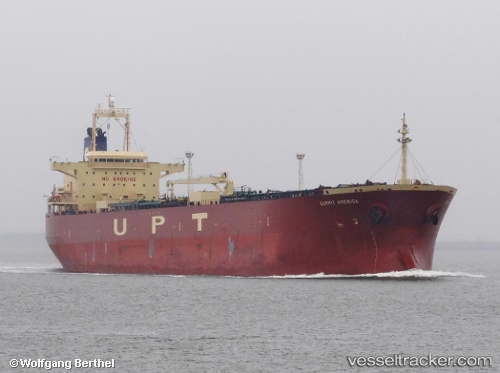
Vessel profile: PGC ALEXANDRIA is a Oil Products Tanker with dimensions 32m x 228m.
This page combines live AIS, route history, probable destination signals, nearby traffic, and port activity for practical vessel monitoring.
The current position of vessel PGC ALEXANDRIA is 38.99995 lat / -75.22059 lng. Updated: 2026-05-20 16:40:06 UTCNearest reference points:
- Near Slaughter Beach
- Near Corbin City
- Near Wilmington
Currently sailing under the flag of Bahamas ![]()
PGC ALEXANDRIA built in 2006 year
Deadweight:
74996 tDetails:
Live Vessel PGC ALEXANDRIA Analytics (details, animations, etc.)
Recent AIS points (UTC):
2026-05-20 13:28:03 UTC · 39.00001, -75.21815 · SOG 0 kn · COG 188°2026-05-20 14:00:59 UTC · 39.00011, -75.21910 · SOG 0.1 kn · COG 171°
2026-05-20 16:22:00 UTC · 38.99996, -75.22055 · SOG 0 kn · COG 156°
2026-05-20 16:40:06 UTC · 38.99995, -75.22059 · SOG 0 kn · COG 151°