 MBS BALURAN
Current Status
Where is the vessel?
MBS BALURAN is currently in 13 nm NW of KENDARI, based on AIS data received about 15h ago.
Latest AIS update:
Current position: 3.77467° S, 122.49033° E (13 nm NW of KENDARI)
Average speed (last 7 days): Loading…
Average speed (last 30 days): Loading…
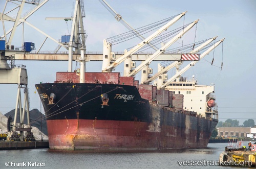
Vessel profile: MBS BALURAN is a Bulk Carrier with dimensions 32m x 190m.
This page combines live AIS, route history, probable destination signals, nearby traffic, and port activity for practical vessel monitoring.
The current position of vessel MBS BALURAN is -3.77467 lat / 122.49033 lng. Updated: 2026-06-28 05:50:33 UTCNearest reference points:
- 11 nm NW of KENDARI
- 45 nm N of KENDARI
- Near Labuan
Currently sailing under the flag of Indonesia ![]()
MBS BALURAN built in 2011 year
Deadweight:
53297 tDetails:
Live Vessel MBS BALURAN Analytics (details, animations, etc.)
Recent AIS points (UTC):
2026-06-28 02:44:30 UTC · -3.77483, 122.49433 · SOG 0.1 kn · COG 265°2026-06-28 03:20:50 UTC · -3.77500, 122.49333 · SOG 0 kn · COG -1°
2026-06-28 04:20:32 UTC · -3.77383, 122.49350 · SOG 0.1 kn · COG 213°
2026-06-28 05:50:33 UTC · -3.77467, 122.49033 · SOG 0.1 kn · COG 89°