 vesseltracker.com
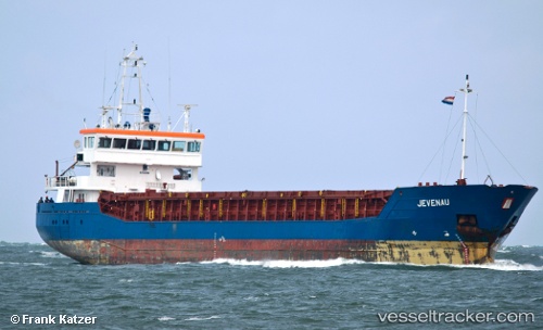
 C.POLARIS
Current Status
Where is the vessel?
C.POLARIS is currently in 58 nm W of Canas de Santa Maria, based on AIS data received about 16h ago.
Latest AIS update:
Current position: 40.54079° N, 10.10008° W (58 nm W of Canas de Santa Maria)
Average speed (last 7 days): Loading…
Average speed (last 30 days): Loading…
Vessel profile: C.POLARIS is a General Cargo with dimensions m x m.
This page combines live AIS, route history, probable destination signals, nearby traffic, and port activity for practical vessel monitoring.
The current position of vessel C.POLARIS is 40.54079 lat / -10.10008 lng. Updated: 2026-05-18 11:20:48 UTCNearest reference points:
- 52 nm W of Canas de Santa Maria
- 11 nm S of Sarinena
- Near Figuera Da Foz
Currently sailing under the flag of Barbados ![]()
Details:
Live Vessel C.POLARIS Analytics (details, animations, etc.)
Recent AIS points (UTC):
2026-05-18 08:21:12 UTC · 40.94833, -10.09833 · SOG 8 kn · COG -1°2026-05-18 09:39:51 UTC · 40.77123, -10.10028 · SOG 8 kn · COG 181°
2026-05-18 10:09:12 UTC · 40.70333, -10.09666 · SOG 8 kn · COG -1°
2026-05-18 11:20:48 UTC · 40.54079, -10.10008 · SOG 8 kn · COG -1°