 EF EMIRA
Current Status
Where is the vessel?
EF EMIRA is currently in Near Beirut, based on AIS data received about 14h ago.
Latest AIS update:
Current position: 33.90928° N, 35.53112° E (Near Beirut)
Average speed (last 7 days): Loading…
Average speed (last 30 days): Loading…
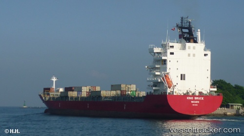
Vessel profile: EF EMIRA is a Container Ship with dimensions m x m.
This page combines live AIS, route history, probable destination signals, nearby traffic, and port activity for practical vessel monitoring.
The current position of vessel EF EMIRA is 33.90928 lat / 35.53112 lng. Updated: 2026-05-21 04:34:47 UTCNearest reference points:
- Near DBAIYEH
- Near Zouk
- Near Tripoli
Currently sailing under the flag of Portugal ![]()
Details:
Live Vessel EF EMIRA Analytics (details, animations, etc.)
Recent AIS points (UTC):
2026-05-21 01:01:46 UTC · 33.90927, 35.53108 · SOG 0 kn · COG 94°2026-05-21 02:01:46 UTC · 33.90928, 35.53110 · SOG 0 kn · COG 93°
2026-05-21 03:52:47 UTC · 33.90928, 35.53110 · SOG 0 kn · COG 94°
2026-05-21 04:34:47 UTC · 33.90928, 35.53112 · SOG 0 kn · COG 94°