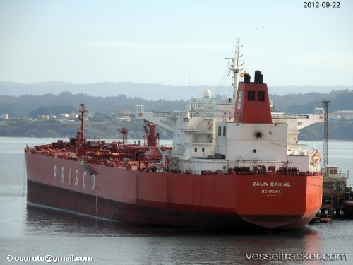
 ZALIV BAIKAL
Current Status
Where is the vessel?
ZALIV BAIKAL is currently in Near PRIGORODNOYE, based on AIS data received about 14h ago.
Latest AIS update:
Current position: 46.53348° N, 142.95879° E (Near PRIGORODNOYE)
Average speed (last 7 days): Loading…
Average speed (last 30 days): Loading…
Vessel profile: ZALIV BAIKAL is a Crude Oil Tanker with dimensions m x m.
This page combines live AIS, route history, probable destination signals, nearby traffic, and port activity for practical vessel monitoring.
The current position of vessel ZALIV BAIKAL is 46.53348 lat / 142.95879 lng. Updated: 2026-06-29 13:11:17 UTCNearest reference points:
- Near Korsakov
- Near ANIVA
- 40 nm N of Cavle
Currently sailing under the flag of Oman ![]()
Details:
Live Vessel ZALIV BAIKAL Analytics (details, animations, etc.)
Recent AIS points (UTC):
2026-06-29 09:23:17 UTC · 46.53337, 142.95888 · SOG 0 kn · COG 247°2026-06-29 10:23:17 UTC · 46.53339, 142.95865 · SOG 0 kn · COG 243°
2026-06-29 12:17:17 UTC · 46.53346, 142.95882 · SOG 0 kn · COG 248°
2026-06-29 13:11:17 UTC · 46.53348, 142.95879 · SOG 0 kn · COG 252°