 vesseltracker.com
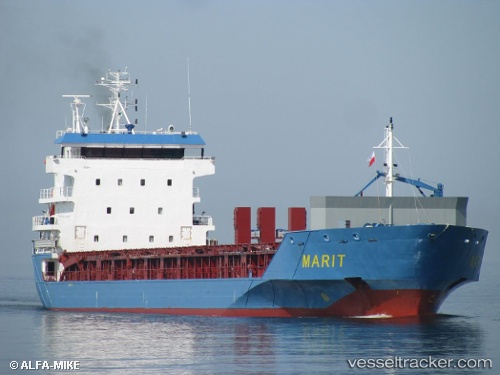
 Marit
Marit
Current Status
Where is the vessel?
Marit is currently in Near Yxpila, based on AIS data received less than 1h ago.
Latest AIS update:
Current position: 63.84373° N, 23.01999° E (Near Yxpila)
Average speed (last 7 days): Loading…
Average speed (last 30 days): Loading…
Vessel profile: Marit is a Multi Purpose Carrier with dimensions 122m x 122m.
This page combines live AIS, route history, probable destination signals, nearby traffic, and port activity for practical vessel monitoring.
The current position of vessel Marit is 63.84373 lat / 23.01999 lng. Updated: 2026-05-12 23:36:00 UTCNearest reference points:
- Near Karlsborg Axelvik
Currently sailing under the flag of Netherlands ![]()
Marit built in 2008 year
Deadweight:
7092 tDetails:
Live Vessel Marit Analytics (details, animations, etc.)
Recent AIS points (UTC):
2026-05-12 19:51:21 UTC · 63.84371, 23.02004 · SOG 0 kn · COG 107°2026-05-12 22:17:59 UTC · 63.84372, 23.01995 · SOG 0 kn · COG 108°
2026-05-12 22:29:59 UTC · 63.84371, 23.01990 · SOG 0 kn · COG 107°
2026-05-12 23:36:00 UTC · 63.84373, 23.01999 · SOG 0 kn · COG 107°