 JAMES JOYCE
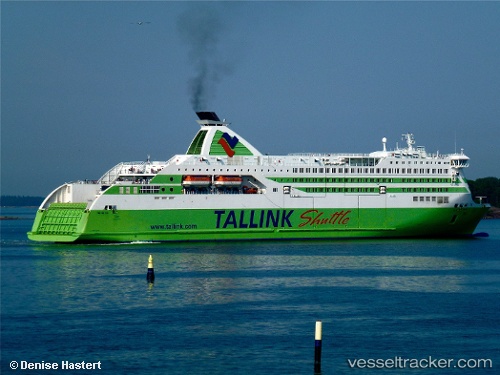
Current Status
Where is the vessel?
JAMES JOYCE is currently in 26 nm E of HOWTH, based on AIS data received about 14h ago.
Latest AIS update:
Current position: 53.35883° N, 5.35250° W (26 nm E of HOWTH)
Average speed (last 7 days): Loading…
Average speed (last 30 days): Loading…
Vessel profile: JAMES JOYCE is a Ro-Ro/Passenger Ship with dimensions m x m.
This page combines live AIS, route history, probable destination signals, nearby traffic, and port activity for practical vessel monitoring.
The current position of vessel JAMES JOYCE is 53.35883 lat / -5.35250 lng. Updated: 2026-05-21 07:57:53 UTCNearest reference points:
- Near Skerries
- Near WICKLOW
- Near HOWTH
Currently sailing under the flag of Cyprus ![]()
Details:
Live Vessel JAMES JOYCE Analytics (details, animations, etc.)
Recent AIS points (UTC):
2026-05-21 04:09:09 UTC · 53.32010, -4.61924 · SOG 0.8 kn · COG 31°2026-05-21 06:09:20 UTC · 53.31933, -4.61983 · SOG 0 kn · COG 30°
2026-05-21 07:02:47 UTC · 53.35233, -4.87250 · SOG 18.7 kn · COG 273°
2026-05-21 07:57:53 UTC · 53.35883, -5.35250 · SOG 18.6 kn · COG 269°