 THOMAS B
Current Status
Where is the vessel?
THOMAS B is currently in Near Callao, based on AIS data received about 15h ago.
Latest AIS update:
Current position: 11.99678° S, 77.19961° W (Near Callao)
Average speed (last 7 days): Loading…
Average speed (last 30 days): Loading…
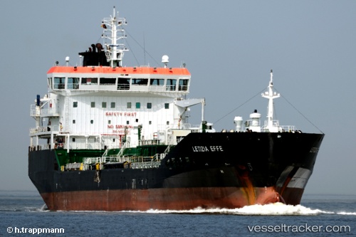
Vessel profile: THOMAS B is a Oil/Chemical Tanker with dimensions m x m.
This page combines live AIS, route history, probable destination signals, nearby traffic, and port activity for practical vessel monitoring.
The current position of vessel THOMAS B is -11.99678 lat / -77.19961 lng. Updated: 2026-05-20 19:10:03 UTCNearest reference points:
- Near Callao
- 43 nm SW of Barranca
- 125 nm SW of Supe Bay
Details:
Live Vessel THOMAS B Analytics (details, animations, etc.)
Recent AIS points (UTC):
2026-05-20 16:22:01 UTC · -11.99713, -77.19849 · SOG 0 kn · COG 225°2026-05-20 16:40:04 UTC · -11.99716, -77.19884 · SOG 0.1 kn · COG 216°
2026-05-20 17:52:02 UTC · -11.99733, -77.20029 · SOG 0.1 kn · COG 123°
2026-05-20 19:10:03 UTC · -11.99678, -77.19961 · SOG 0.1 kn · COG 166°