 vesseltracker.com
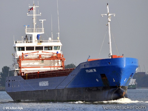
 Ruyter
Current Status
Where is the vessel?
Ruyter is currently in Near Nieuwdorp, based on AIS data received less than 1h ago.
Latest AIS update:
Current position: 51.46212° N, 3.68968° E (Near Nieuwdorp)
Average speed (last 7 days): Loading…
Average speed (last 30 days): Loading…
Vessel profile: Ruyter is a Multi Purpose Carrier with dimensions 90m x 90m.
This page combines live AIS, route history, probable destination signals, nearby traffic, and port activity for practical vessel monitoring.
The current position of vessel Ruyter is 51.46212 lat / 3.68968 lng. Updated: 2026-05-13 11:56:47 UTCNearest reference points:
- Near Nieuwdorp
- Near Borssele
- Near BASTIAAN DE LANGEPLA
Currently sailing under the flag of Netherlands ![]()
Ruyter built in 2006 year
Deadweight:
3638 tDetails:
Live Vessel Ruyter Analytics (details, animations, etc.)
Recent AIS points (UTC):
2026-05-13 05:41:42 UTC · 51.46207, 3.68960 · SOG 0 kn · COG 59°2026-05-13 09:47:44 UTC · 51.46211, 3.68963 · SOG 0 kn · COG 59°
2026-05-13 10:51:46 UTC · 51.46211, 3.68963 · SOG 0 kn · COG 59°
2026-05-13 11:56:47 UTC · 51.46212, 3.68968 · SOG 0 kn · COG 59°