 ORIS SYNERGY
Current Status
Where is the vessel?
ORIS SYNERGY is currently in Near Las Palmas, based on AIS data received about 14h ago.
Latest AIS update:
Current position: 28.15159° N, 15.39849° W (Near Las Palmas)
Average speed (last 7 days): Loading…
Average speed (last 30 days): Loading…
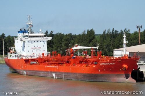
Vessel profile: ORIS SYNERGY is a Oil/Chemical Tanker with dimensions m x m.
This page combines live AIS, route history, probable destination signals, nearby traffic, and port activity for practical vessel monitoring.
The current position of vessel ORIS SYNERGY is 28.15159 lat / -15.39849 lng. Updated: 2026-05-29 16:25:23 UTCNearest reference points:
- Near Las Palmas
- Near Las Palmas de Gran Canaria
- Near TALIARTE
Currently sailing under the flag of Liberia ![]()
Details:
Live Vessel ORIS SYNERGY Analytics (details, animations, etc.)
Recent AIS points (UTC):
2026-05-29 13:28:11 UTC · 28.15154, -15.39855 · SOG 0 kn · COG 358°2026-05-29 13:43:11 UTC · 28.15156, -15.39852 · SOG 0 kn · COG 358°
2026-05-29 15:28:12 UTC · 28.15156, -15.39858 · SOG 0 kn · COG 358°
2026-05-29 16:25:23 UTC · 28.15159, -15.39849 · SOG 0 kn · COG 358°