 vesseltracker.com
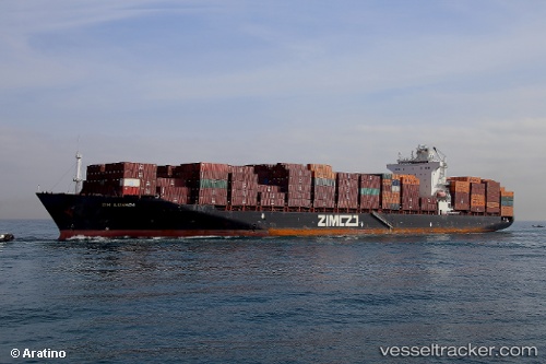
Zim Luanda
Current StatusWhere is the vessel?
Zim Luanda is currently in 112 nm S of Kastellorizou (ex Megísti), based on AIS data received about 2h ago.
Latest AIS update:
Current position: 34.29633° N, 29.81699° E (112 nm S of Kastellorizou (ex Megísti))
Average speed (last 7 days): Loading…
Average speed (last 30 days): Loading…
Vessel profile: Zim Luanda is a Container Ship with dimensions 32m x 260m.
This page combines live AIS, route history, probable destination signals, nearby traffic, and port activity for practical vessel monitoring.
The current position of vessel Zim Luanda is 34.29633 lat / 29.81699 lng. Updated: 2026-05-16 14:02:54 UTCNearest reference points:
- 108 nm S of Kastellorizou (ex Megísti)
- 129 nm NW of ABU QIR
- Near KAS
Details:
Live Vessel Zim Luanda Analytics (details, animations, etc.)
Recent AIS points (UTC):
2026-05-16 11:04:36 UTC · 34.03517, 30.69152 · SOG 16.2 kn · COG 289°2026-05-16 11:53:24 UTC · 34.10778, 30.44084 · SOG 16.2 kn · COG 289°
2026-05-16 13:34:12 UTC · 34.25503, 29.94411 · SOG 14.2 kn · COG 292°
2026-05-16 14:02:54 UTC · 34.29633, 29.81699 · SOG 14.1 kn · COG 289°