 Alexandria Bridge
Current Status
Where is the vessel?
Alexandria Bridge is currently in 64 nm SW of Koiingnaas, based on AIS data received about 15h ago.
Latest AIS update:
Current position: 30.97833° S, 16.44667° E (64 nm SW of Koiingnaas)
Average speed (last 7 days): Loading…
Average speed (last 30 days): Loading…
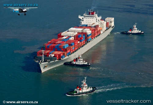
Vessel profile: Alexandria Bridge is a Container Ship with dimensions 262m x 32m.
This page combines live AIS, route history, probable destination signals, nearby traffic, and port activity for practical vessel monitoring.
The current position of vessel Alexandria Bridge is -30.97833 lat / 16.44667 lng. Updated: 2026-07-12 11:38:48 UTCNearest reference points:
- 154 nm W of Koiingnaas
- 167 nm SW of Koiingnaas
- Near Saint Helena Bay
Currently sailing under the flag of Panama ![]()
Details:
Live Vessel Alexandria Bridge Analytics (details, animations, etc.)
Recent AIS points (UTC):
2026-07-12 08:03:46 UTC · -31.64614, 16.70784 · SOG 11.5 kn · COG 339°2026-07-12 10:17:37 UTC · -31.23172, 16.54709 · SOG 11.7 kn · COG 341°
2026-07-12 10:25:54 UTC · -31.20556, 16.53771 · SOG 11 kn · COG 337°
2026-07-12 11:38:48 UTC · -30.97833, 16.44667 · SOG 11 kn · COG -1°