 vesseltracker.com
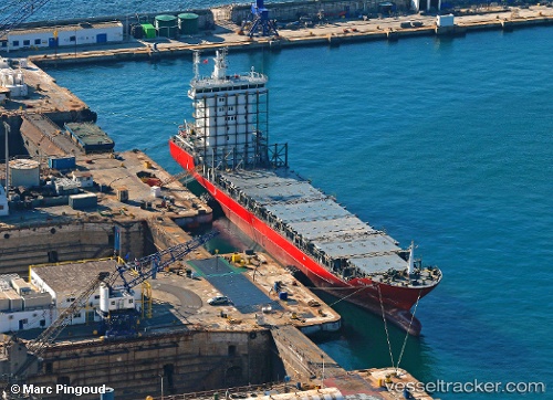
 ATLANTIC SOUTH
Current Status
Where is the vessel?
ATLANTIC SOUTH is currently in 50 nm NW of SUSA, based on AIS data received about 15h ago.
Latest AIS update:
Current position: 35.27816° N, 130.98329° E (50 nm NW of SUSA)
Average speed (last 7 days): Loading…
Average speed (last 30 days): Loading…
Vessel profile: ATLANTIC SOUTH is a Container Ship with dimensions m x m.
This page combines live AIS, route history, probable destination signals, nearby traffic, and port activity for practical vessel monitoring.
The current position of vessel ATLANTIC SOUTH is 35.27816 lat / 130.98329 lng. Updated: 2026-05-18 05:51:33 UTCNearest reference points:
- 39 nm N of Iwami
- 67 nm W of NAKANOSHIMA
- 63 nm NW of Unnan
Currently sailing under the flag of Singapore ![]()
Details:
Live Vessel ATLANTIC SOUTH Analytics (details, animations, etc.)
Recent AIS points (UTC):
2026-05-18 01:36:43 UTC · 35.08227, 129.94472 · SOG 12.2 kn · COG 81°2026-05-18 03:24:25 UTC · 35.15432, 130.37979 · SOG 12 kn · COG 83°
2026-05-18 04:13:11 UTC · 35.19133, 130.57811 · SOG 12.3 kn · COG 76°
2026-05-18 05:51:33 UTC · 35.27816, 130.98329 · SOG 12.1 kn · COG 75°