 vesseltracker.com
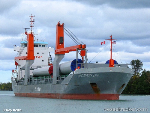
 Lemland
Current Status
Where is the vessel?
Lemland is currently in 194 nm NE of Munshiganj, based on AIS data received about 2h ago.
Latest AIS update:
Current position: 24.96333° N, 87.33833° W (194 nm NE of Munshiganj)
Average speed (last 7 days): Loading…
Average speed (last 30 days): Loading…
Vessel profile: Lemland is a Multi Purpose Carrier with dimensions 130m x 17m.
This page combines live AIS, route history, probable destination signals, nearby traffic, and port activity for practical vessel monitoring.
The current position of vessel Lemland is 24.96333 lat / -87.33833 lng. Updated: 2026-05-14 23:30:49 UTCCurrently sailing under the flag of Antigua Barbuda ![]()
Lemland built in 2009 year
Deadweight:
8850 tDetails:
Live Vessel Lemland Analytics (details, animations, etc.)
Recent AIS points (UTC):
2026-05-14 19:39:51 UTC · 24.45333, -86.60667 · SOG 12 kn · COG -1°2026-05-14 21:39:49 UTC · 24.71333, -86.98167 · SOG 13 kn · COG -1°
2026-05-14 22:42:50 UTC · 24.85333, -87.18167 · SOG 13 kn · COG -1°
2026-05-14 23:30:49 UTC · 24.96333, -87.33833 · SOG 13 kn · COG -1°