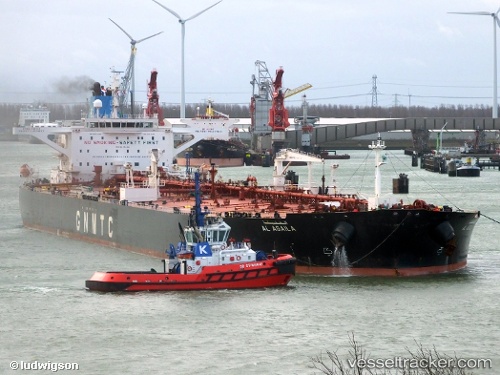
 Al Agaila
Current Status
Where is the vessel?
Al Agaila is currently in 18 nm N of Avlona, based on AIS data received about 14h ago.
Latest AIS update:
Current position: 36.07180° N, 27.22044° E (18 nm N of Avlona)
Average speed (last 7 days): Loading…
Average speed (last 30 days): Loading…
Vessel profile: Al Agaila is a Crude Oil Tanker with dimensions 274m x 274m.
This page combines live AIS, route history, probable destination signals, nearby traffic, and port activity for practical vessel monitoring.
The current position of vessel Al Agaila is 36.07180 lat / 27.22044 lng. Updated: 2026-05-22 07:24:26 UTCNearest reference points:
- 13 nm E of Nisiros
- 12 nm E of GYALI
- 11 nm E of GYALI
Currently sailing under the flag of Libya ![]()
Details:
Live Vessel Al Agaila Analytics (details, animations, etc.)
Recent AIS points (UTC):
2026-05-22 03:21:05 UTC · 35.74100, 28.08310 · SOG 13.2 kn · COG 269°2026-05-22 04:11:02 UTC · 35.73554, 27.86191 · SOG 13 kn · COG 270°
2026-05-22 06:22:25 UTC · 35.91845, 27.40472 · SOG 12.2 kn · COG 312°
2026-05-22 07:24:26 UTC · 36.07180, 27.22044 · SOG 12.5 kn · COG 312°