 vesseltracker.com
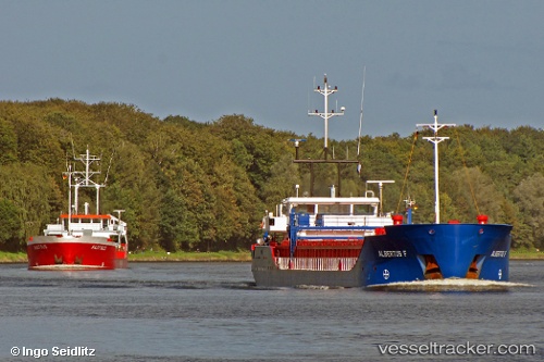
 Frisian River
Current Status
Where is the vessel?
Frisian River is currently in 10 nm NW of Captain Field, based on AIS data received less than 1h ago.
Latest AIS update:
Current position: 58.44697° N, 1.94443° W (10 nm NW of Captain Field)
Average speed (last 7 days): Loading…
Average speed (last 30 days): Loading…
Vessel profile: Frisian River is a Multi Purpose Carrier with dimensions 87m x 12m.
This page combines live AIS, route history, probable destination signals, nearby traffic, and port activity for practical vessel monitoring.
The current position of vessel Frisian River is 58.44697 lat / -1.94443 lng. Updated: 2026-05-13 03:34:42 UTCNearest reference points:
- Near PETERHEAD
- Near Peterhead
- Near Staxigoe
Currently sailing under the flag of Netherlands ![]()
Frisian River built in 2007 year
Deadweight:
2620 tDetails:
Live Vessel Frisian River Analytics (details, animations, etc.)
Recent AIS points (UTC):
2026-05-12 23:54:42 UTC · 58.99678, -2.04484 · SOG 8.8 kn · COG 172°2026-05-13 01:08:22 UTC · 58.81357, -2.01414 · SOG 8.9 kn · COG 172°
2026-05-13 02:26:43 UTC · 58.61890, -1.97026 · SOG 9 kn · COG 176°
2026-05-13 03:34:42 UTC · 58.44697, -1.94443 · SOG 9.3 kn · COG 172°