 JIN HUI
Current Status
Where is the vessel?
JIN HUI is currently in Near Trelleborg, based on AIS data received about 14h ago.
Latest AIS update:
Current position: 55.34030° N, 13.04477° E (Near Trelleborg)
Average speed (last 7 days): Loading…
Average speed (last 30 days): Loading…
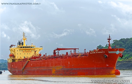
Vessel profile: JIN HUI is a Oil/Chemical Tanker with dimensions m x m.
This page combines live AIS, route history, probable destination signals, nearby traffic, and port activity for practical vessel monitoring.
The current position of vessel JIN HUI is 55.34030 lat / 13.04477 lng. Updated: 2026-07-17 11:04:35 UTCNearest reference points:
- Near Trelleborg
- Near Oxie
- Near Skanör
Currently sailing under the flag of Syria ![]()
Details:
Live Vessel JIN HUI Analytics (details, animations, etc.)
Recent AIS points (UTC):
2026-07-17 07:24:41 UTC · 55.33988, 13.04453 · SOG 0 kn · COG 107°2026-07-17 08:07:06 UTC · 55.33833, 13.04333 · SOG 0 kn · COG -1°
2026-07-17 09:46:42 UTC · 55.33976, 13.04452 · SOG 0 kn · COG 104°
2026-07-17 11:04:35 UTC · 55.34030, 13.04477 · SOG 0.1 kn · COG 115°