 PARANDOWSKI
Current Status
Where is the vessel?
PARANDOWSKI is currently in 62 nm SW of El Ranchito, based on AIS data received about 16h ago.
Latest AIS update:
Current position: 17.76956° N, 104.23242° W (62 nm SW of El Ranchito)
Average speed (last 7 days): Loading…
Average speed (last 30 days): Loading…
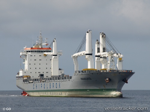
Vessel profile: PARANDOWSKI is a General Cargo with dimensions m x m.
This page combines live AIS, route history, probable destination signals, nearby traffic, and port activity for practical vessel monitoring.
The current position of vessel PARANDOWSKI is 17.76956 lat / -104.23242 lng. Updated: 2026-05-20 11:22:09 UTCNearest reference points:
- 46 nm S of El Ranchito
- 43 nm SW of Antunez
- Near Lazaro Cardenas
Currently sailing under the flag of Liberia ![]()
Details:
Live Vessel PARANDOWSKI Analytics (details, animations, etc.)
Recent AIS points (UTC):
2026-05-20 08:09:40 UTC · 18.18030, -104.95932 · SOG 15.3 kn · COG 122°2026-05-20 10:03:02 UTC · 17.93500, -104.52667 · SOG 14 kn · COG -1°
2026-05-20 10:13:03 UTC · 17.91366, -104.48984 · SOG 15 kn · COG 120°
2026-05-20 11:22:09 UTC · 17.76956, -104.23242 · SOG 14.6 kn · COG 120°