 DUBAI EXPRESS
Current Status
Where is the vessel?
DUBAI EXPRESS is currently in Near TANGER MED, based on AIS data received about 14h ago.
Latest AIS update:
Current position: 35.87561° N, 5.53403° W (Near TANGER MED)
Average speed (last 7 days): Loading…
Average speed (last 30 days): Loading…
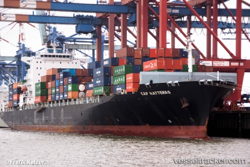
Vessel profile: DUBAI EXPRESS is a Container Ship with dimensions m x m.
This page combines live AIS, route history, probable destination signals, nearby traffic, and port activity for practical vessel monitoring.
The current position of vessel DUBAI EXPRESS is 35.87561 lat / -5.53403 lng. Updated: 2026-05-21 04:11:45 UTCNearest reference points:
- Near TARIFA
- Near TANGER MED
- Near Algeciras
Currently sailing under the flag of Liberia ![]()
Details:
Live Vessel DUBAI EXPRESS Analytics (details, animations, etc.)
Recent AIS points (UTC):
2026-05-21 01:09:56 UTC · 36.00187, -5.21890 · SOG 11.6 kn · COG 54°2026-05-21 01:51:56 UTC · 36.01159, -5.32416 · SOG 13.4 kn · COG 260°
2026-05-21 03:23:53 UTC · 35.90435, -5.56523 · SOG 2.2 kn · COG 80°
2026-05-21 04:11:45 UTC · 35.87561, -5.53403 · SOG 6.2 kn · COG 202°