 GLOVIS SOLOMON
Current Status
Where is the vessel?
GLOVIS SOLOMON is currently in 345 nm SE of Ljubescica, based on AIS data received about 14h ago.
Latest AIS update:
Current position: 40.88144° N, 165.73441° E (345 nm SE of Ljubescica)
Average speed (last 7 days): Loading…
Average speed (last 30 days): Loading…
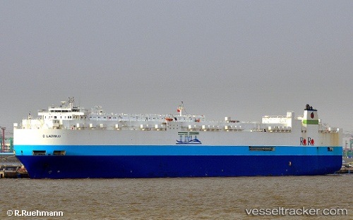
Vessel profile: GLOVIS SOLOMON is a Vehicles Carrier with dimensions 232m x 32m.
This page combines live AIS, route history, probable destination signals, nearby traffic, and port activity for practical vessel monitoring.
The current position of vessel GLOVIS SOLOMON is 40.88144 lat / 165.73441 lng. Updated: 2026-05-19 09:59:52 UTCNearest reference points:
- Open sea, approx. 401 nm off the nearest listed port
- Open sea, approx. 405 nm off the nearest listed port
- Open sea, approx. 410 nm off the nearest listed port
Currently sailing under the flag of Korea (Republic of) ![]()
GLOVIS SOLOMON built in 2011 year
Deadweight:
27200 tDetails:
Live Vessel GLOVIS SOLOMON Analytics (details, animations, etc.)
Recent AIS points (UTC):
2026-05-19 06:11:06 UTC · 40.93198, 164.24643 · SOG 17.4 kn · COG 95°2026-05-19 08:01:17 UTC · 40.90985, 164.95697 · SOG 17.7 kn · COG 97°
2026-05-19 08:03:15 UTC · 40.90931, 164.96989 · SOG 17.7 kn · COG 97°
2026-05-19 09:59:52 UTC · 40.88144, 165.73441 · SOG 18.1 kn · COG 97°