 vesseltracker.com
 DENIZ M
Current Status
Where is the vessel?
DENIZ M is currently in Near GENT, based on AIS data received about 14h ago.
Latest AIS update:
Current position: 51.08727° N, 3.73666° E (Near GENT)
Average speed (last 7 days): Loading…
Average speed (last 30 days): Loading…
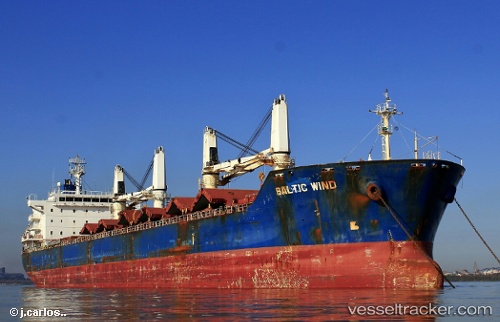
Vessel profile: DENIZ M is a Bulk Carrier with dimensions 180m x 180m.
This page combines live AIS, route history, probable destination signals, nearby traffic, and port activity for practical vessel monitoring.
The current position of vessel DENIZ M is 51.08727 lat / 3.73666 lng. Updated: 2026-05-18 05:32:49 UTCNearest reference points:
- Near Oostakker
- Near Rieme
- Near Landegem
Currently sailing under the flag of Panama ![]()
DENIZ M built in 2009 year
Deadweight:
34409 tDetails:
Live Vessel DENIZ M Analytics (details, animations, etc.)
Recent AIS points (UTC):
2026-05-18 02:11:52 UTC · 51.08725, 3.73667 · SOG 0 kn · COG 112°2026-05-18 03:41:46 UTC · 51.08728, 3.73666 · SOG 0 kn · COG 112°
2026-05-18 04:47:51 UTC · 51.08726, 3.73667 · SOG 0 kn · COG 112°
2026-05-18 05:32:49 UTC · 51.08727, 3.73666 · SOG 0 kn · COG 112°