 vesseltracker.com
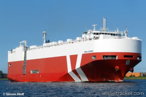
 NEPTUNE PHOS
Current Status
Where is the vessel?
NEPTUNE PHOS is currently in 14 nm SE of Krieschow, based on AIS data received about 14h ago.
Latest AIS update:
Current position: 51.53983° N, 1.97823° E (14 nm SE of Krieschow)
Average speed (last 7 days): Loading…
Average speed (last 30 days): Loading…
Vessel profile: NEPTUNE PHOS is a Vehicles Carrier with dimensions m x m.
This page combines live AIS, route history, probable destination signals, nearby traffic, and port activity for practical vessel monitoring.
The current position of vessel NEPTUNE PHOS is 51.53983 lat / 1.97823 lng. Updated: 2026-05-18 02:13:16 UTCNearest reference points:
- 15 nm E of RAMSGATE
- 14 nm SE of RAMSGATE
- 11 nm NW of Krieschow
Currently sailing under the flag of Greece ![]()
Details:
Live Vessel NEPTUNE PHOS Analytics (details, animations, etc.)
Recent AIS points (UTC):
2026-05-17 22:43:02 UTC · 52.35257, 2.20560 · SOG 16.9 kn · COG 168°2026-05-17 23:24:08 UTC · 52.16388, 2.25498 · SOG 16.5 kn · COG 169°
2026-05-18 01:47:57 UTC · 51.61800, 2.05230 · SOG 13 kn · COG 213°
2026-05-18 02:13:16 UTC · 51.53983, 1.97823 · SOG 13 kn · COG 211°