 vesseltracker.com
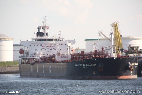
 UOG HARRIET G
Current Status
Where is the vessel?
UOG HARRIET G is currently in Near Choa Chu Kang, based on AIS data received about 14h ago.
Latest AIS update:
Current position: 1.25455° N, 103.89191° E (Near Choa Chu Kang)
Average speed (last 7 days): Loading…
Average speed (last 30 days): Loading…
Vessel profile: UOG HARRIET G is a Crude Oil Tanker with dimensions 228m x 32m.
This page combines live AIS, route history, probable destination signals, nearby traffic, and port activity for practical vessel monitoring.
The current position of vessel UOG HARRIET G is 1.25455 lat / 103.89191 lng. Updated: 2026-05-17 22:11:31 UTCNearest reference points:
- Near Choa Chu Kang
- Near Tampines
- Near Singapore
Currently sailing under the flag of Marshall Islands ![]()
UOG HARRIET G built in 2009 year
Deadweight:
73338 tDetails:
Live Vessel UOG HARRIET G Analytics (details, animations, etc.)
Recent AIS points (UTC):
2026-05-17 19:14:30 UTC · 1.25683, 103.89464 · SOG 0 kn · COG 213°2026-05-17 19:44:48 UTC · 1.25667, 103.89333 · SOG 0 kn · COG -1°
2026-05-17 22:02:35 UTC · 1.25490, 103.89194 · SOG 0.1 kn · COG 86°
2026-05-17 22:11:31 UTC · 1.25455, 103.89191 · SOG 0.1 kn · COG 75°