 SACURA
Current Status
Where is the vessel?
SACURA is currently in 14 nm NW of Mardyck, based on AIS data received about 15h ago.
Latest AIS update:
Current position: 51.22663° N, 2.09649° E (14 nm NW of Mardyck)
Average speed (last 7 days): Loading…
Average speed (last 30 days): Loading…
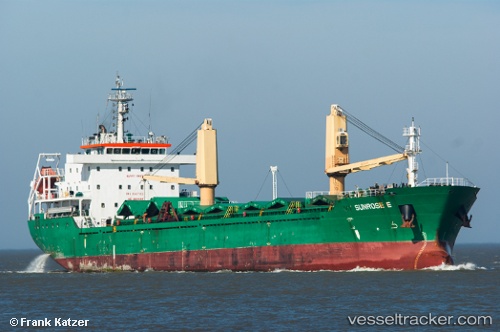
Vessel profile: SACURA is a Bulk Carrier with dimensions 138m x 20m.
This page combines live AIS, route history, probable destination signals, nearby traffic, and port activity for practical vessel monitoring.
The current position of vessel SACURA is 51.22663 lat / 2.09649 lng. Updated: 2026-06-06 13:45:25 UTCNearest reference points:
- 15 nm E of RAMSGATE
- Near Dunkerque
- Near Calais
Currently sailing under the flag of Liberia ![]()
SACURA built in 2011 year
Deadweight:
13050 tDetails:
Live Vessel SACURA Analytics (details, animations, etc.)
Recent AIS points (UTC):
2026-06-06 10:21:25 UTC · 50.89729, 1.44937 · SOG 9.2 kn · COG 25°2026-06-06 12:08:05 UTC · 51.07770, 1.73399 · SOG 9.2 kn · COG 57°
2026-06-06 13:36:46 UTC · 51.21358, 2.06063 · SOG 10.7 kn · COG 63°
2026-06-06 13:45:25 UTC · 51.22663, 2.09649 · SOG 10.9 kn · COG 62°