 vesseltracker.com
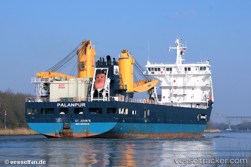
Amoenitas
Current StatusWhere is the vessel?
Amoenitas is currently in 55 nm NW of Sandy Bay, based on AIS data received about 2h ago.
Latest AIS update:
Current position: 19.15260° N, 78.71360° W (55 nm NW of Sandy Bay)
Average speed (last 7 days): Loading…
Average speed (last 30 days): Loading…
Vessel profile: Amoenitas is a Heavy Load Carrier with dimensions 23m x 134m.
This page combines live AIS, route history, probable destination signals, nearby traffic, and port activity for practical vessel monitoring.
The current position of vessel Amoenitas is 19.15260 lat / -78.71360 lng. Updated: 2026-05-15 12:26:57 UTCNearest reference points:
- 16 nm SE of Ceiba Hueca
Details:
Live Vessel Amoenitas Analytics (details, animations, etc.)
Recent AIS points (UTC):
2026-05-15 10:23:01 UTC · 19.29705, -79.25829 · SOG 15.4 kn · COG 109°2026-05-15 11:19:05 UTC · 19.22723, -79.00984 · SOG 15.8 kn · COG 105°
2026-05-15 12:26:57 UTC · 19.15260, -78.71360 · SOG 15 kn · COG 106°
2026-05-15 12:26:57 UTC · 19.15260, -78.71360 · SOG 15 kn · COG 106°