 VERTOM ISA
Current Status
Where is the vessel?
VERTOM ISA is currently in Near SKAGEN, based on AIS data received about 14h ago.
Latest AIS update:
Current position: 57.66168° N, 10.66024° E (Near SKAGEN)
Average speed (last 7 days): Loading…
Average speed (last 30 days): Loading…
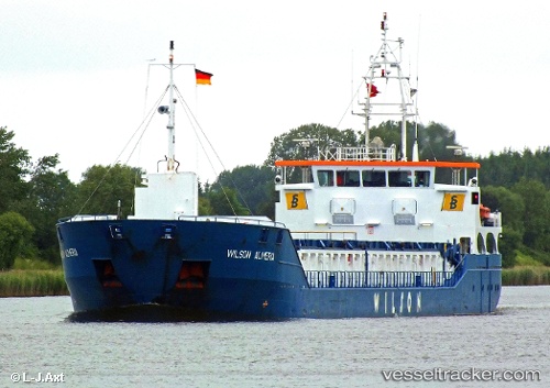
Vessel profile: VERTOM ISA is a General Cargo with dimensions m x m.
This page combines live AIS, route history, probable destination signals, nearby traffic, and port activity for practical vessel monitoring.
The current position of vessel VERTOM ISA is 57.66168 lat / 10.66024 lng. Updated: 2026-06-29 08:31:31 UTCNearest reference points:
- Near SKAGEN
- Near Frederikshavn
- 19 nm E of Sæby
Currently sailing under the flag of Portugal ![]()
Details:
Live Vessel VERTOM ISA Analytics (details, animations, etc.)
Recent AIS points (UTC):
2026-06-29 04:53:02 UTC · 57.64754, 10.94963 · SOG 4.3 kn · COG 277°2026-06-29 05:40:23 UTC · 57.65675, 10.84694 · SOG 4.1 kn · COG 286°
2026-06-29 07:16:07 UTC · 57.66247, 10.65558 · SOG 2.5 kn · COG 137°
2026-06-29 08:31:31 UTC · 57.66168, 10.66024 · SOG 0.1 kn · COG 253°