 vesseltracker.com
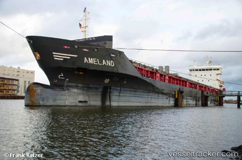
 Ameland
Current Status
Where is the vessel?
Ameland is currently in Near Tunadal, based on AIS data received less than 1h ago.
Latest AIS update:
Current position: 62.40488° N, 17.39632° E (Near Tunadal)
Average speed (last 7 days): Loading…
Average speed (last 30 days): Loading…
Vessel profile: Ameland is a Multi Purpose Carrier with dimensions 122m x 16m.
This page combines live AIS, route history, probable destination signals, nearby traffic, and port activity for practical vessel monitoring.
The current position of vessel Ameland is 62.40488 lat / 17.39632 lng. Updated: 2026-05-15 10:00:01 UTCNearest reference points:
- Near Stockviksverken
- Near Iggesund
- Near Östhammar
Currently sailing under the flag of Netherlands ![]()
Ameland built in 2009 year
Deadweight:
7133 tDetails:
Live Vessel Ameland Analytics (details, animations, etc.)
Recent AIS points (UTC):
2026-05-15 06:18:01 UTC · 62.40488, 17.39632 · SOG 0 kn · COG 328°2026-05-15 07:09:01 UTC · 62.40488, 17.39629 · SOG 0 kn · COG 327°
2026-05-15 07:39:01 UTC · 62.40487, 17.39631 · SOG 0 kn · COG 327°
2026-05-15 10:00:01 UTC · 62.40488, 17.39632 · SOG 0 kn · COG 327°