 Ttm Hope
Current Status
Where is the vessel?
Ttm Hope is currently in Near Chengxi, based on AIS data received about 15h ago.
Latest AIS update:
Current position: 31.94098° N, 120.25277° E (Near Chengxi)
Average speed (last 7 days): Loading…
Average speed (last 30 days): Loading…
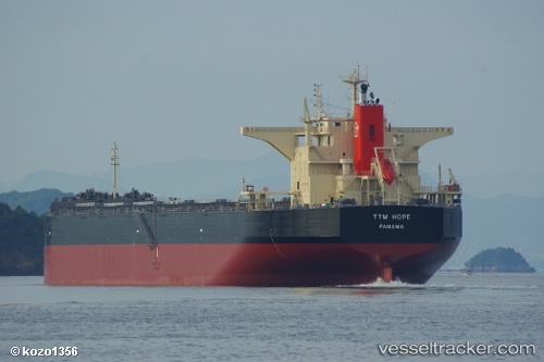
Vessel profile: Ttm Hope is a Bulk Carrier with dimensions 245m x 43m.
This page combines live AIS, route history, probable destination signals, nearby traffic, and port activity for practical vessel monitoring.
The current position of vessel Ttm Hope is 31.94098 lat / 120.25277 lng. Updated: 2026-05-21 05:43:48 UTCNearest reference points:
- Near Chengxi
- Near Jiangyin Pt
- Near Jingjiang Pt
Currently sailing under the flag of Panama ![]()
Ttm Hope built in 2012 year
Deadweight:
119496 tDetails:
Live Vessel Ttm Hope Analytics (details, animations, etc.)
Recent AIS points (UTC):
2026-05-21 01:36:59 UTC · 31.90915, 120.88094 · SOG 10.5 kn · COG 342°2026-05-21 03:39:30 UTC · 32.00372, 120.59038 · SOG 9.6 kn · COG 290°
2026-05-21 04:04:40 UTC · 32.02913, 120.51450 · SOG 9.7 kn · COG 294°
2026-05-21 05:43:48 UTC · 31.94098, 120.25277 · SOG 6.7 kn · COG 250°