 CAPTAIN LEFTERIS
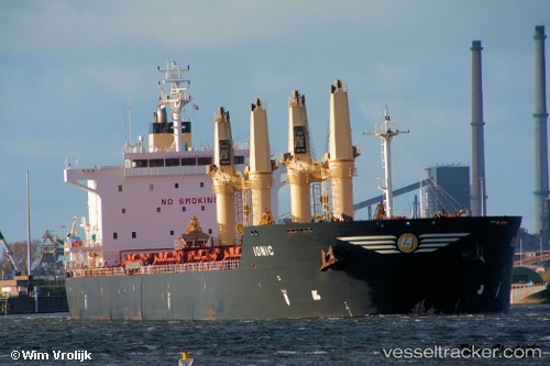
Current Status
Where is the vessel?
CAPTAIN LEFTERIS is currently in Near Clatskanie, based on AIS data received about 15h ago.
Latest AIS update:
Current position: 46.17359° N, 123.10409° W (Near Clatskanie)
Average speed (last 7 days): Loading…
Average speed (last 30 days): Loading…
Vessel profile: CAPTAIN LEFTERIS is a Bulk Carrier with dimensions m x m.
This page combines live AIS, route history, probable destination signals, nearby traffic, and port activity for practical vessel monitoring.
The current position of vessel CAPTAIN LEFTERIS is 46.17359 lat / -123.10409 lng. Updated: 2026-06-20 06:01:37 UTCNearest reference points:
- Near LONGVIEW
- Near Linnton
- Near Grays River
Currently sailing under the flag of Portugal ![]()
Details:
Live Vessel CAPTAIN LEFTERIS Analytics (details, animations, etc.)
Recent AIS points (UTC):
2026-06-20 01:43:32 UTC · 46.17193, -123.10008 · SOG 0.2 kn · COG 284°2026-06-20 03:52:32 UTC · 46.17214, -123.10003 · SOG 0 kn · COG 281°
2026-06-20 05:01:33 UTC · 46.17292, -123.10022 · SOG 0.2 kn · COG 243°
2026-06-20 06:01:37 UTC · 46.17359, -123.10409 · SOG 0.1 kn · COG 156°