 vesseltracker.com
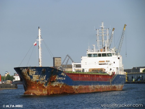
 MEMNUNE K
Current Status
Where is the vessel?
MEMNUNE K is currently in 27 nm NE of Monemvasía, based on AIS data received less than 1h ago.
Latest AIS update:
Current position: 36.85186° N, 23.56083° E (27 nm NE of Monemvasía)
Average speed (last 7 days): Loading…
Average speed (last 30 days): Loading…
Vessel profile: MEMNUNE K is a General Cargo Ship with dimensions 90m x 14m.
This page combines live AIS, route history, probable destination signals, nearby traffic, and port activity for practical vessel monitoring.
The current position of vessel MEMNUNE K is 36.85186 lat / 23.56083 lng. Updated: 2026-05-12 19:53:25 UTCNearest reference points:
- 20 nm E of FOKIANOS
- 17 nm W of Milos (Adamas)
- Near Methana
Currently sailing under the flag of Barbados ![]()
MEMNUNE K built in 2010 year
Deadweight:
4487 tDetails:
Live Vessel MEMNUNE K Analytics (details, animations, etc.)
Recent AIS points (UTC):
2026-05-12 16:26:15 UTC · 36.42651, 23.22977 · SOG 8.7 kn · COG 38°2026-05-12 17:42:23 UTC · 36.57928, 23.36380 · SOG 9 kn · COG 33°
2026-05-12 19:42:33 UTC · 36.82732, 23.55272 · SOG 8.6 kn · COG 28°
2026-05-12 19:53:25 UTC · 36.85186, 23.56083 · SOG 8.4 kn · COG 12°