 vesseltracker.com
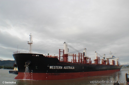
 CLIPPER TYNE
Current Status
Where is the vessel?
CLIPPER TYNE is currently in 108 nm W of Hongdo, based on AIS data received about 1h ago.
Latest AIS update:
Current position: 35.00529° N, 123.03684° E (108 nm W of Hongdo)
Average speed (last 7 days): Loading…
Average speed (last 30 days): Loading…
Vessel profile: CLIPPER TYNE is a Bulk Carrier with dimensions 27m x 175m.
This page combines live AIS, route history, probable destination signals, nearby traffic, and port activity for practical vessel monitoring.
The current position of vessel CLIPPER TYNE is 35.00529 lat / 123.03684 lng. Updated: 2026-05-15 12:07:09 UTCNearest reference points:
- 83 nm SE of Shidao Pt
- 77 nm W of Hongdo
- 116 nm NE of DAFENG
Currently sailing under the flag of Marshall Islands ![]()
CLIPPER TYNE built in 2012 year
Deadweight:
31905 tDetails:
Live Vessel CLIPPER TYNE Analytics (details, animations, etc.)
Recent AIS points (UTC):
2026-05-15 07:48:08 UTC · 35.72089, 123.01150 · SOG 9.9 kn · COG 176°2026-05-15 09:23:39 UTC · 35.45005, 123.02210 · SOG 10 kn · COG 179°
2026-05-15 10:21:54 UTC · 35.28667, 123.02667 · SOG 9 kn · COG -1°
2026-05-15 12:07:09 UTC · 35.00529, 123.03684 · SOG 9.5 kn · COG 179°