 vesseltracker.com
 PARTNERSHIP
Current Status
Where is the vessel?
PARTNERSHIP is currently in Open sea (no nearby ports in database), based on AIS data received about 14h ago.
Latest AIS update:
Current position: 10.28468° S, 64.45883° E (Open sea (no nearby ports in database))
Average speed (last 7 days): Loading…
Average speed (last 30 days): Loading…
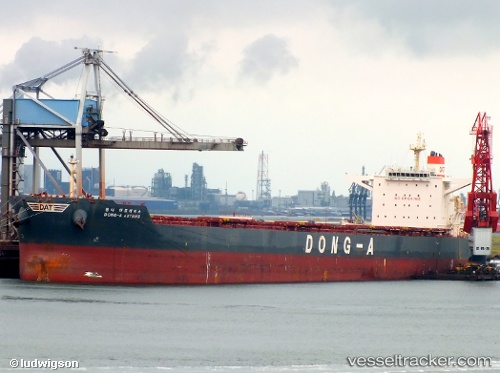
Vessel profile: PARTNERSHIP is a Bulk Carrier with dimensions 292m x 45m.
This page combines live AIS, route history, probable destination signals, nearby traffic, and port activity for practical vessel monitoring.
The current position of vessel PARTNERSHIP is -10.28468 lat / 64.45883 lng. Updated: 2026-05-18 08:02:40 UTCNearest reference points:
- Open sea (no nearby ports in database)
Currently sailing under the flag of Marshall Islands ![]()
PARTNERSHIP built in 2012 year
Deadweight:
179213 tDetails:
Live Vessel PARTNERSHIP Analytics (details, animations, etc.)
Recent AIS points (UTC):
2026-05-18 04:00:09 UTC · -10.65989, 64.05449 · SOG 8 kn · COG 45°2026-05-18 05:56:17 UTC · -10.48282, 64.24836 · SOG 8.1 kn · COG 47°
2026-05-18 07:59:10 UTC · -10.29030, 64.45329 · SOG 8 kn · COG 44°
2026-05-18 08:02:40 UTC · -10.28468, 64.45883 · SOG 8 kn · COG 48°