 MARIA IMMACULATA
Current Status
Where is the vessel?
MARIA IMMACULATA is currently in Near Las Palmas, based on AIS data received about 14h ago.
Latest AIS update:
Current position: 28.13743° N, 15.42263° W (Near Las Palmas)
Average speed (last 7 days): Loading…
Average speed (last 30 days): Loading…
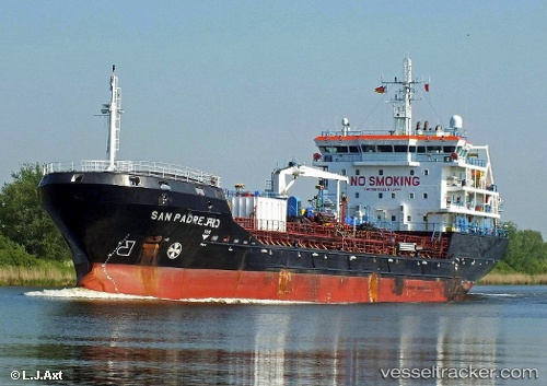
Vessel profile: MARIA IMMACULATA is a Chemical/Oil Products Tanker with dimensions 18m x 113m.
This page combines live AIS, route history, probable destination signals, nearby traffic, and port activity for practical vessel monitoring.
The current position of vessel MARIA IMMACULATA is 28.13743 lat / -15.42263 lng. Updated: 2026-07-01 09:34:30 UTCNearest reference points:
- Near Las Palmas
- Near Las Palmas de Gran Canaria
- Near TALIARTE
Currently sailing under the flag of Malta ![]()
MARIA IMMACULATA built in 2012 year
Deadweight:
7616 tDetails:
Live Vessel MARIA IMMACULATA Analytics (details, animations, etc.)
Recent AIS points (UTC):
2026-07-01 05:47:26 UTC · 28.15451, -15.39851 · SOG 0 kn · COG -1°2026-07-01 07:31:25 UTC · 28.15453, -15.39851 · SOG 0 kn · COG 179°
2026-07-01 08:11:51 UTC · 28.15452, -15.39853 · SOG 0 kn · COG 178°
2026-07-01 09:34:30 UTC · 28.13743, -15.42263 · SOG 0.3 kn · COG 177°