 vesseltracker.com
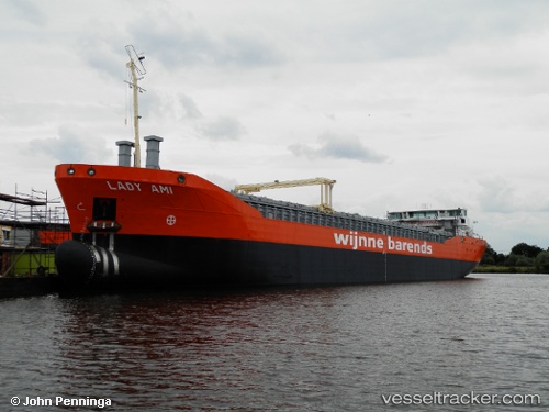
 Lady Ami
Current Status
Where is the vessel?
Lady Ami is currently in 12 nm N of Hirtshals, based on AIS data received less than 1h ago.
Latest AIS update:
Current position: 57.79234° N, 10.03647° E (12 nm N of Hirtshals)
Average speed (last 7 days): Loading…
Average speed (last 30 days): Loading…
Vessel profile: Lady Ami is a General Cargo Ship with dimensions 88m x 14m.
This page combines live AIS, route history, probable destination signals, nearby traffic, and port activity for practical vessel monitoring.
The current position of vessel Lady Ami is 57.79234 lat / 10.03647 lng. Updated: 2026-05-15 22:11:53 UTCNearest reference points:
- 15 nm N of Hirtshals
- Near Hirtshals
- Near SKAGEN
Currently sailing under the flag of Netherlands ![]()
Details:
Live Vessel Lady Ami Analytics (details, animations, etc.)
Recent AIS points (UTC):
2026-05-15 19:08:52 UTC · 57.82126, 10.86860 · SOG 9.3 kn · COG 275°2026-05-15 19:54:51 UTC · 57.84760, 10.66497 · SOG 8.6 kn · COG 280°
2026-05-15 21:47:02 UTC · 57.81705, 10.14757 · SOG 9.4 kn · COG 240°
2026-05-15 22:11:53 UTC · 57.79234, 10.03647 · SOG 9.5 kn · COG 232°