 Cape Green
Current Status
Where is the vessel?
Cape Green is currently in Near CHIBA, based on AIS data received about 15h ago.
Latest AIS update:
Current position: 35.59067° N, 140.10114° E (Near CHIBA)
Average speed (last 7 days): Loading…
Average speed (last 30 days): Loading…
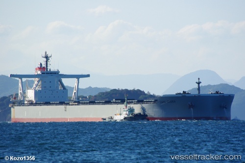
Vessel profile: Cape Green is a Bulk Carrier with dimensions 300m x 50m.
This page combines live AIS, route history, probable destination signals, nearby traffic, and port activity for practical vessel monitoring.
The current position of vessel Cape Green is 35.59067 lat / 140.10114 lng. Updated: 2026-06-20 22:28:39 UTCNearest reference points:
- Near ANEGASAKI
- Near Aomi
- Near Kawasaki
Currently sailing under the flag of Panama ![]()
Details:
Live Vessel Cape Green Analytics (details, animations, etc.)
Recent AIS points (UTC):
2026-06-20 19:32:09 UTC · 35.53982, 139.93723 · SOG 0.1 kn · COG 169°2026-06-20 19:56:09 UTC · 35.53993, 139.93820 · SOG 0 kn · COG 188°
2026-06-20 22:20:39 UTC · 35.59163, 140.09154 · SOG 3.8 kn · COG 90°
2026-06-20 22:28:39 UTC · 35.59067, 140.10114 · SOG 3.3 kn · COG 120°