 Navigator Europa
Current Status
Where is the vessel?
Navigator Europa is currently in 196 nm W of Shitan, based on AIS data received about 15h ago.
Latest AIS update:
Current position: 23.03969° N, 117.29408° W (196 nm W of Shitan)
Average speed (last 7 days): Loading…
Average speed (last 30 days): Loading…
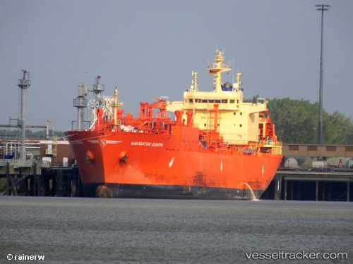
Vessel profile: Navigator Europa is a Lpg Tanker with dimensions 160m x 25m.
This page combines live AIS, route history, probable destination signals, nearby traffic, and port activity for practical vessel monitoring.
The current position of vessel Navigator Europa is 23.03969 lat / -117.29408 lng. Updated: 2026-08-01 17:21:38 UTCCurrently sailing under the flag of Liberia ![]()
Details:
Live Vessel Navigator Europa Analytics (details, animations, etc.)
Recent AIS points (UTC):
2026-08-01 14:10:40 UTC · 23.40007, -118.02142 · SOG 14.7 kn · COG 119°2026-08-01 16:11:56 UTC · 23.16864, -117.55873 · SOG 14.2 kn · COG 117°
2026-08-01 16:11:56 UTC · 23.16864, -117.55873 · SOG 14.2 kn · COG 117°
2026-08-01 17:21:38 UTC · 23.03969, -117.29408 · SOG 14.3 kn · COG 117°