 vesseltracker.com
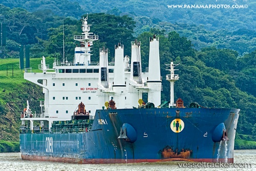
 Hopa
Hopa
Current Status
Where is the vessel?
Hopa is currently in 16 nm SE of Port Bolivar, based on AIS data received about 1h ago.
Latest AIS update:
Current position: 29.26039° N, 94.47599° W (16 nm SE of Port Bolivar)
Average speed (last 7 days): Loading…
Average speed (last 30 days): Loading…
Vessel profile: Hopa is a Bulk Carrier with dimensions 199m x 32m.
This page combines live AIS, route history, probable destination signals, nearby traffic, and port activity for practical vessel monitoring.
The current position of vessel Hopa is 29.26039 lat / -94.47599 lng. Updated: 2026-05-14 20:07:16 UTCNearest reference points:
- 12 nm SE of Port Bolivar
- Near Port Bolivar
- 23 nm SW of Sabine Pass
Currently sailing under the flag of Malta ![]()
Hopa built in 2013 year
Deadweight:
63301 tDetails:
Live Vessel Hopa Analytics (details, animations, etc.)
Recent AIS points (UTC):
2026-05-14 16:13:16 UTC · 29.26031, -94.47590 · SOG 0 kn · COG 354°2026-05-14 17:31:16 UTC · 29.26031, -94.47597 · SOG 0.1 kn · COG 359°
2026-05-14 19:07:16 UTC · 29.26036, -94.47611 · SOG 0 kn · COG 3°
2026-05-14 20:07:16 UTC · 29.26039, -94.47599 · SOG 0.1 kn · COG 359°