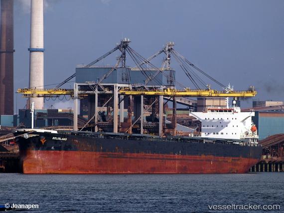
 BELISLAND
Current Status
Where is the vessel?
BELISLAND is currently in 374 nm E of Richards Bay, based on AIS data received about 15h ago.
Latest AIS update:
Current position: 29.12549° S, 39.25204° E (374 nm E of Richards Bay)
Average speed (last 7 days): Loading…
Average speed (last 30 days): Loading…
Vessel profile: BELISLAND is a Bulk Carrier with dimensions 200m x 32m.
This page combines live AIS, route history, probable destination signals, nearby traffic, and port activity for practical vessel monitoring.
The current position of vessel BELISLAND is -29.12549 lat / 39.25204 lng. Updated: 2026-05-19 17:27:27 UTCNearest reference points:
- 358 nm E of Richards Bay
- Open sea, approx. 401 nm off the nearest listed port
- Open sea, approx. 402 nm off the nearest listed port
Currently sailing under the flag of Norway (NIS) ![]()
BELISLAND built in 2016 year
Deadweight:
61252 tDetails:
Live Vessel BELISLAND Analytics (details, animations, etc.)
Recent AIS points (UTC):
2026-05-19 14:18:53 UTC · -28.87251, 39.87628 · SOG 11.4 kn · COG 244°2026-05-19 15:52:13 UTC · -28.99437, 39.57045 · SOG 11.5 kn · COG 243°
2026-05-19 16:40:52 UTC · -29.06093, 39.40779 · SOG 11.4 kn · COG 244°
2026-05-19 17:27:27 UTC · -29.12549, 39.25204 · SOG 11.8 kn · COG 243°