 vesseltracker.com
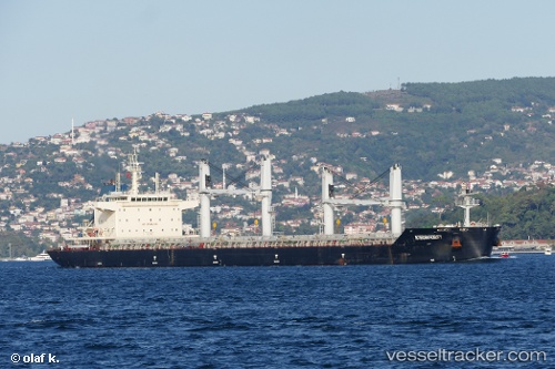
 MAI TAI
Current Status
Where is the vessel?
MAI TAI is currently in 20 nm N of Ain Taya, based on AIS data received about 2h ago.
Latest AIS update:
Current position: 37.10856° N, 3.29758° E (20 nm N of Ain Taya)
Average speed (last 7 days): Loading…
Average speed (last 30 days): Loading…
Vessel profile: MAI TAI is a Bulk Carrier with dimensions 179m x 32m.
This page combines live AIS, route history, probable destination signals, nearby traffic, and port activity for practical vessel monitoring.
The current position of vessel MAI TAI is 37.10856 lat / 3.29758 lng. Updated: 2026-05-15 01:12:11 UTCNearest reference points:
- 16 nm NE of Berja
- Near Algiers
- Near Zamoranos
Currently sailing under the flag of Liberia ![]()
MAI TAI built in 2015 year
Deadweight:
38792 tDetails:
Live Vessel MAI TAI Analytics (details, animations, etc.)
Recent AIS points (UTC):
2026-05-14 21:57:02 UTC · 36.96374, 2.42933 · SOG 12.7 kn · COG 73°2026-05-14 22:33:27 UTC · 36.99500, 2.58500 · SOG 13 kn · COG -1°
2026-05-14 23:51:51 UTC · 37.04751, 2.93535 · SOG 13.2 kn · COG 71°
2026-05-15 01:12:11 UTC · 37.10856, 3.29758 · SOG 13.4 kn · COG 82°