 Sea Power
Current Status
Where is the vessel?
Sea Power is currently in 52 nm S of SOUTHPORT, based on AIS data received about 14h ago.
Latest AIS update:
Current position: 33.06060° N, 77.93743° W (52 nm S of SOUTHPORT)
Average speed (last 7 days): Loading…
Average speed (last 30 days): Loading…
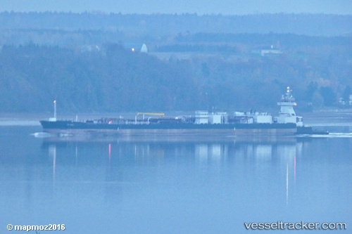
Vessel profile: Sea Power is a Tug with dimensions 208m x 24m.
This page combines live AIS, route history, probable destination signals, nearby traffic, and port activity for practical vessel monitoring.
The current position of vessel Sea Power is 33.06060 lat / -77.93743 lng. Updated: 2026-06-28 20:20:41 UTCNearest reference points:
- Near North Myrtle Beach
- Near Charleston
- Near Morehead City
Currently sailing under the flag of USA ![]()
Details:
Live Vessel Sea Power Analytics (details, animations, etc.)
Recent AIS points (UTC):
2026-06-28 16:22:41 UTC · 33.51305, -77.28955 · SOG 11 kn · COG 230°2026-06-28 18:10:30 UTC · 33.30002, -77.58510 · SOG 10.7 kn · COG 230°
2026-06-28 20:01:10 UTC · 33.09587, -77.88405 · SOG 10.5 kn · COG 230°
2026-06-28 20:20:41 UTC · 33.06060, -77.93743 · SOG 10.6 kn · COG 230°