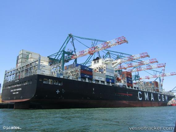
 VUNG TAU EXPRESS
Current Status
Where is the vessel?
VUNG TAU EXPRESS is currently in 45 nm SW of Xijiang, based on AIS data received about 15h ago.
Latest AIS update:
Current position: 20.89833° N, 114.17333° E (45 nm SW of Xijiang)
Average speed (last 7 days): Loading…
Average speed (last 30 days): Loading…
Vessel profile: VUNG TAU EXPRESS is a Cargo A with dimensions m x m.
This page combines live AIS, route history, probable destination signals, nearby traffic, and port activity for practical vessel monitoring.
The current position of vessel VUNG TAU EXPRESS is 20.89833 lat / 114.17333 lng. Updated: 2026-05-20 07:32:16 UTCNearest reference points:
- 44 nm S of Wanshan Pt
- 42 nm SE of Wanshan Pt
- 78 nm SW of Xijiang
Currently sailing under the flag of Singapore ![]()
Details:
Live Vessel VUNG TAU EXPRESS Analytics (details, animations, etc.)
Recent AIS points (UTC):
2026-05-20 04:52:22 UTC · 21.56517, 114.29234 · SOG 15.2 kn · COG 190°2026-05-20 06:20:12 UTC · 21.19667, 114.23333 · SOG 15 kn · COG -1°
2026-05-20 07:32:16 UTC · 20.89833, 114.17333 · SOG 15 kn · COG -1°
2026-05-20 07:32:16 UTC · 20.89833, 114.17333 · SOG 15 kn · COG -1°