 Vistula Maersk
Current Status
Where is the vessel?
Vistula Maersk is currently in 57 nm NE of Cap-aux-Meules, based on AIS data received about 15h ago.
Latest AIS update:
Current position: 48.23833° N, 61.24167° W (57 nm NE of Cap-aux-Meules)
Average speed (last 7 days): Loading…
Average speed (last 30 days): Loading…
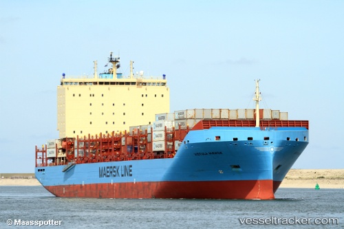
Vessel profile: Vistula Maersk is a Container Ship with dimensions 200m x 36m.
This page combines live AIS, route history, probable destination signals, nearby traffic, and port activity for practical vessel monitoring.
The current position of vessel Vistula Maersk is 48.23833 lat / -61.24167 lng. Updated: 2026-05-21 01:16:15 UTCCurrently sailing under the flag of Denmark ![]()
Details:
Live Vessel Vistula Maersk Analytics (details, animations, etc.)
Recent AIS points (UTC):
2026-05-20 23:08:38 UTC · 48.04438, -60.74725 · SOG 9.7 kn · COG 296°2026-05-20 23:19:28 UTC · 48.05857, -60.78457 · SOG 9.5 kn · COG 298°
2026-05-21 01:16:15 UTC · 48.23833, -61.24167 · SOG 13 kn · COG -1°
2026-05-21 01:16:15 UTC · 48.23833, -61.24167 · SOG 13 kn · COG -1°