Galaxy
Current StatusWhere is the vessel?
Galaxy is currently in Near IBIZA, based on AIS data received about 15h ago.
Latest AIS update:
Current position: 38.90997° N, 1.43968° E (Near IBIZA)
Average speed (last 7 days): Loading…
Average speed (last 30 days): Loading…
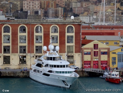
Vessel profile: Galaxy is a Service Ship with dimensions 10m x 56m.
This page combines live AIS, route history, probable destination signals, nearby traffic, and port activity for practical vessel monitoring.
The current position of vessel Galaxy is 38.90997 lat / 1.43968 lng. Updated: 2026-07-08 13:07:52 UTCNearest reference points:
- Near IBIZA
- Near SANTA EULARIA
- Near SANT ANTONI
Details:
Live Vessel Galaxy Analytics (details, animations, etc.)
Recent AIS points (UTC):
2026-07-08 09:59:01 UTC · 38.90995, 1.43966 · SOG 0.1 kn · COG 25°2026-07-08 11:55:46 UTC · 38.90998, 1.43969 · SOG 0 kn · COG 26°
2026-07-08 11:55:46 UTC · 38.90998, 1.43969 · SOG 0 kn · COG 26°
2026-07-08 13:07:52 UTC · 38.90997, 1.43968 · SOG 0 kn · COG 26°