 Tacanuyaso M.s
Current Status
Where is the vessel?
Tacanuyaso M.s is currently in Near Marina Grande, based on AIS data received about 14h ago.
Latest AIS update:
Current position: 40.53827° N, 14.25023° E (Near Marina Grande)
Average speed (last 7 days): Loading…
Average speed (last 30 days): Loading…
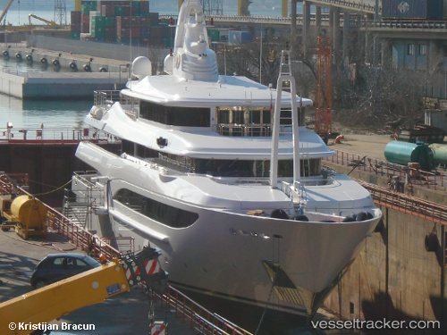
Vessel profile: Tacanuyaso M.s is a Service Ship with dimensions 60m x 60m.
This page combines live AIS, route history, probable destination signals, nearby traffic, and port activity for practical vessel monitoring.
The current position of vessel Tacanuyaso M.s is 40.53827 lat / 14.25023 lng. Updated: 2026-05-29 15:22:57 UTCNearest reference points:
- Near CAPRI
- Near Anacapri
- Near Marina della Lobra
Currently sailing under the flag of Cayman Is ![]()
Tacanuyaso M.s built in 2009 year
Deadweight:
220 tDetails:
Live Vessel Tacanuyaso M.s Analytics (details, animations, etc.)
Recent AIS points (UTC):
2026-05-29 12:20:57 UTC · 40.53910, 14.25102 · SOG 0.3 kn · COG 307°2026-05-29 13:24:37 UTC · 40.53893, 14.25098 · SOG 0 kn · COG 340°
2026-05-29 13:35:47 UTC · 40.53888, 14.25056 · SOG 0 kn · COG 29°
2026-05-29 15:22:57 UTC · 40.53827, 14.25023 · SOG 0.9 kn · COG 316°